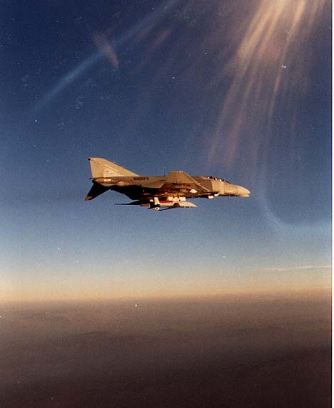

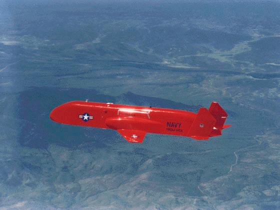
 The primary mission of the BQM-145A is to obtain high quality images of enemy territory and transmit them back for reconnaissance analysis in real-time or near-real-time. The MR UAV's payload bay can carry state of the art reconnaissance equipment, including electro-optical, infrared and synthetic aperture radar sensors as well as recorders and data transmitters to accomplish the mission. MR UAV used the Advanced Tactical Airborne Reconnaissance System (ATARS) to complement manned reconnaissance capability . The designated payload of the MR UAV can capture, record and then transmit electronic images to a shipboard or ground based control station for digital analysis.
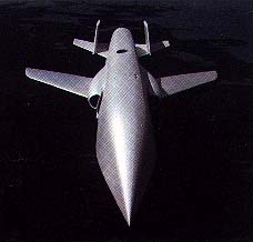
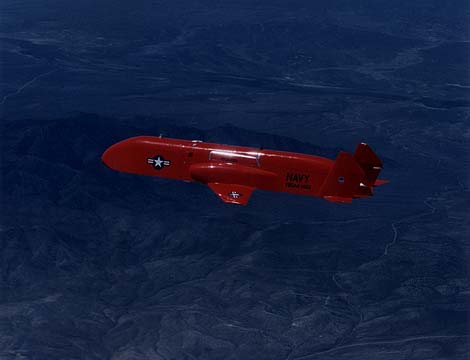
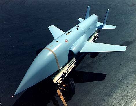
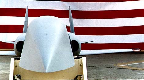
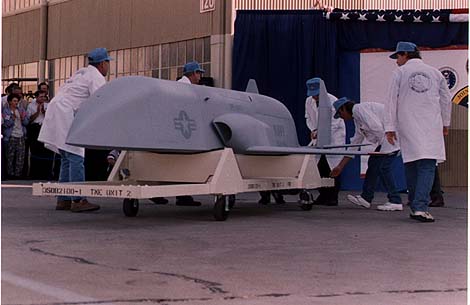
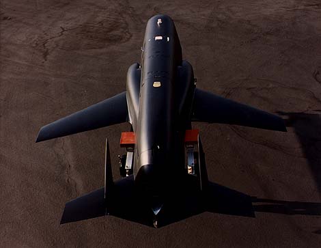
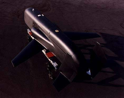
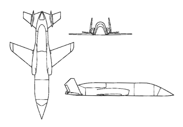
An onboard Mission Logic Control Unit (MLCU) computer is programmed with a complete mission profile, including way point data such as latitude and longitude as well as speed, altitude and heading commands. It also directs the aircraft's flight controls and manages its payload according to mission requirements. Navigation is performed with an Inertial Navigation System (INS) aided by Global Positioning System (GPS) satellite data which provides the vehicle's precise earth location. The UAV's propulsion system, a Teledyne CAE Model 382-10C turbojet, gives the aircraft high subsonic performance. It flies at altitudes up to 40,000 feet and at a range in excess of 700 nautical miles. At the conclusion of a mission, the UAV returns to a predetermined location and then is recovered from flight by parachute landing, at sea, or on the ground.
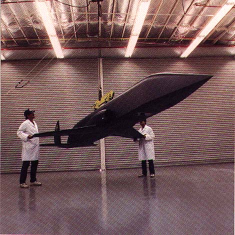
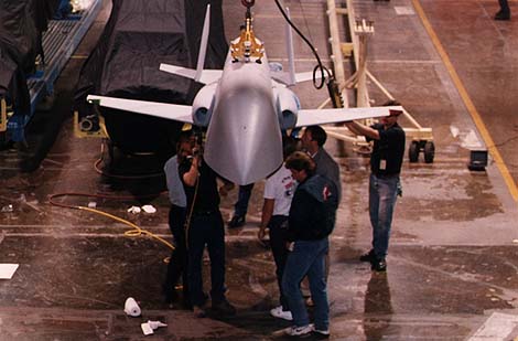
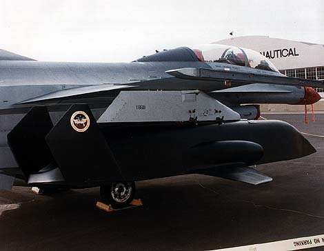
The Medium Range UAV began as a multiservice, cooperative venture. The Navy was to design and build the air vehicle. Air vehicle development costs were estimated to be $387 million in 1993. The Air Force would design and build the sensor payload with cameras, videotape recorder, and communications data link to send back the imagery from the UAV. Payload development was originally estimated to cost $164 million. Unfortunately, the Air Force ran into major difficulties with the payload. Development costs grew to an estimated $346 million, the payload program fell behind schedule, and developmental tests on a surrogate manned aircraft were not successful. The Navy encountered design problems as well, and one test aircraft crashed. Perhaps most significantly for the Medium Range UAV program, the prototype ATARS payload ended up being too big to fit in the space the Navy had allotted inside the aircraft. In June 1993, the Air Force terminated the payload contract due to technical difficulties. The Medium Range UAV was terminated in October 1993 by DOD for affordability reasons. The first metal airframe BQM-145A was completed in October 1993. On 07 July 1995 the MR UAV program was partially reinstated for 6 BQM-145A vehicles. Two demonstrated flights were completed at Mojave, CA in February 1997. One composite airframe MR UAV Air Vehicle is currently available.Specifications | |
| Length | 18.33 ft |
| Wingspan | 10.5 ft |
| Height | 33.91 in |
| Max Gross Weight | 2,160 lbs |
| Speed (Max) | Mach 0.83 |
| Cruise Range | 700 nautical miles |
| Service Ceiling | 40,000 ft |
| Engine | Teledyne CAE F408-CA-400 Turbofan |
| PAYLOAD |
Initial Payload
|
Ground
Miscellaneous
|